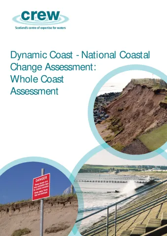
The Coastal Change Assessment creates a shared evidence base to support more sustainable coastal and terrestrial planning decisions in the light of a changing climate. For the first time, all 21000 km of the Scottish shoreline have been analysed to a level of detail never achieved before.
The assessment has established historic coastal change by extracting the georectified coastline position from OS 2nd Edition Country Series maps (1892-1905) and compared it to both the 1970’s and current coastal position (updated by LiDAR datasets where available) to estimate past erosion/accretion rates. Using the historic coastal change rates the coastline position is projected into the future. Using the erosion rates combined with a number of socioeconomic datasets, key assets at risk from future coastal erosion have been identified.
| Attachment | Size |
|---|---|
| CRW2014_02 Main report | 5.55 MB |
| CRW2014_02 National Overview | 6.49 MB |
| CRW2014_02 Summary | 665.88 KB |
| CRW2014_02 Recommendations | 3.58 MB |
| CRW2014_02 Coastal Erosion Policy Context | 4.84 MB |
| CRW2014_02 Methodology | 5.36 MB |
| CRW2014_02 Vulnerability Assessment | 3.84 MB |
| CRW2014_02 Cell 1 - St Abb's Head to Fife Ness | 10.12 MB |
| CRW2014_02 Cell 2 - Fife Ness to Cairnbulg Point | 10.78 MB |
| CRW2014_02 Cell 3 - Cairnbulg Point to Duncansby Head | 11.12 MB |
| CRW2014_02 Cell 4 - Duncansby Head to Cape Wrath | 5.99 MB |
| CRW2014_02 Cell 5 - Cape Wrath to the Mull of Kintyre | 12.77 MB |
| CRW2014_02 Cell 6 - Mull of Kintyre to the Mull of Galloway | 12.08 MB |
| CRW2014_02 Cell 7 - Mull of Galloway to the Inner Solway Firth | 7.92 MB |
| CRW2014_02 Cells 8 and 9 - The Western Isles | 12.94 MB |
| CRW2014_02 Cell 10 - Orkney | 13.36 MB |
| CRW2014_02 Cell 11 - Shetland | 5.81 MB |
